England Flag The Cumbrian Challenge
Cumbrian Flag

The Tougher Route for Walking with the Wounded

  16th May 2026

Walking with the Wounded logo
 
Return to Hiking Home Page
 
 
arrow

The route, 27 km with 1570m of ascent...
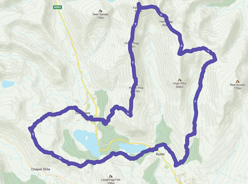
 
Route

List of the summits & pass on the route...
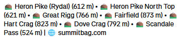
Summitbag peaks

arrow


A Hercules transport plane taking a low sweep, below the tops of the peaks shortly after I arrived...
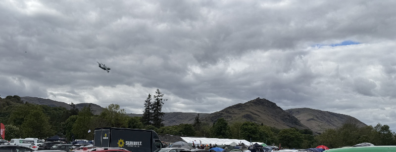
Hercules

arrow

Better piloting than my camera tracking...

Close


arrow

Home for the weekend...


Home


arrow


The Unusual Suspects... Nigel, Andy, Marco, James & me...
 

Identity parade


arrow

The route started by going directly up the hill opposite until the break in the wall; quite a lot of the overall route wasn't on marked paths which was a bit of a surprise...

Hill

arrow

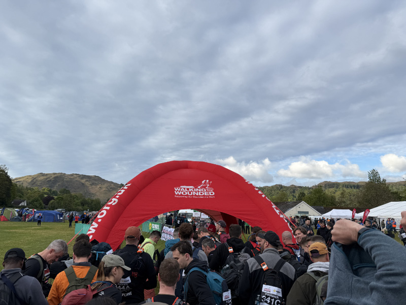
At the start...


 Start

arrow

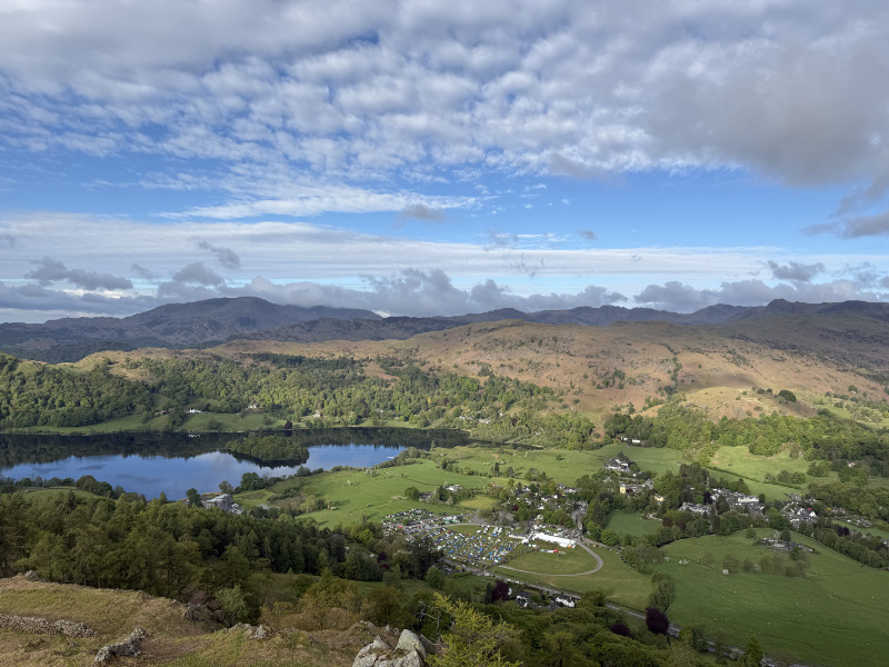
We quickly gained height and the campsite shrank below us...
Height


arrow

Onwards and upwards, the first few sections of the climb to the summit of Fairfield were the steepest...
 
Up

arrow

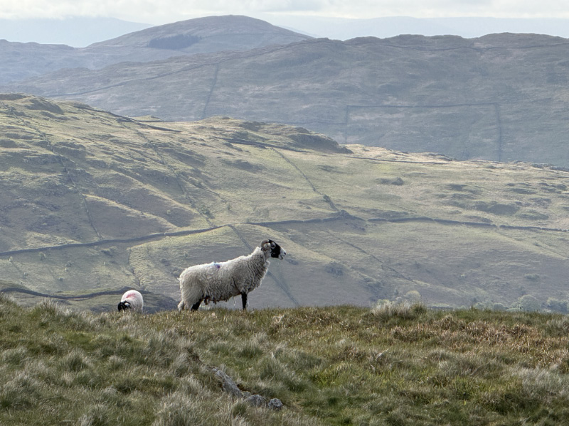
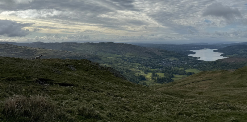
Trying not to alarm the locals...

Local 1

arrow

Looking down to Lake Windermere...

Local 2

arrow

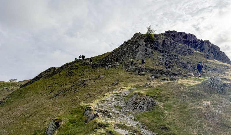
Looking up to the summit of Fairfield, at 873m the highest point on the route...
 

Summit approach

arrow

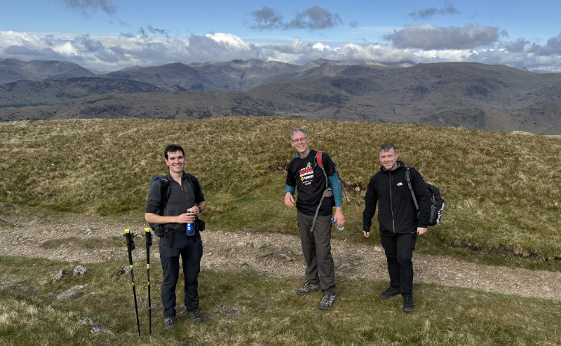
Andy, Nigel and Marco from our 5-man team...
Team

arrow

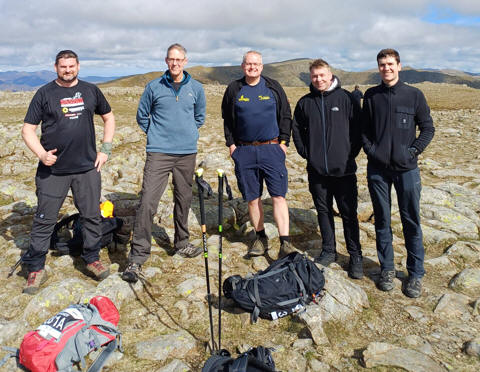
The full team at the summit of Fairfield: James, Nigel, me, Marco & Andy...
Team

arrow

Glistening stream below us... 

 
 Stream

arrow

Looking back down the approach path...
 
Me

arrow

Looking across to Helvellyn and Striding Edge... 

Hellvellyn

arrow

Tidy cairn...

 Tidy cairn

 
arrow

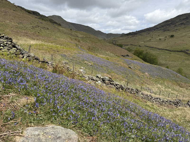
Being further north, the bluebells were still in vibrant bloom...
Bluebells

arrow

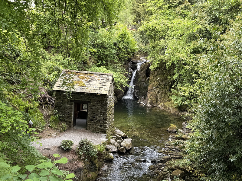
Stream in Rydal as we crossed the valley... 
 

Rydal


arrow

From near Rydal Caves looking across to our last peak, Lang How - we didn't go to the very top of it and passed about 30 feet beneath it, but we were still teased with at least 4 or 5 false summits, before finally dropping down to Grasmere across unmarked marshy ground...


Final peak

arrow

Mossy lane close to Grasmere...

Mossy


arrow


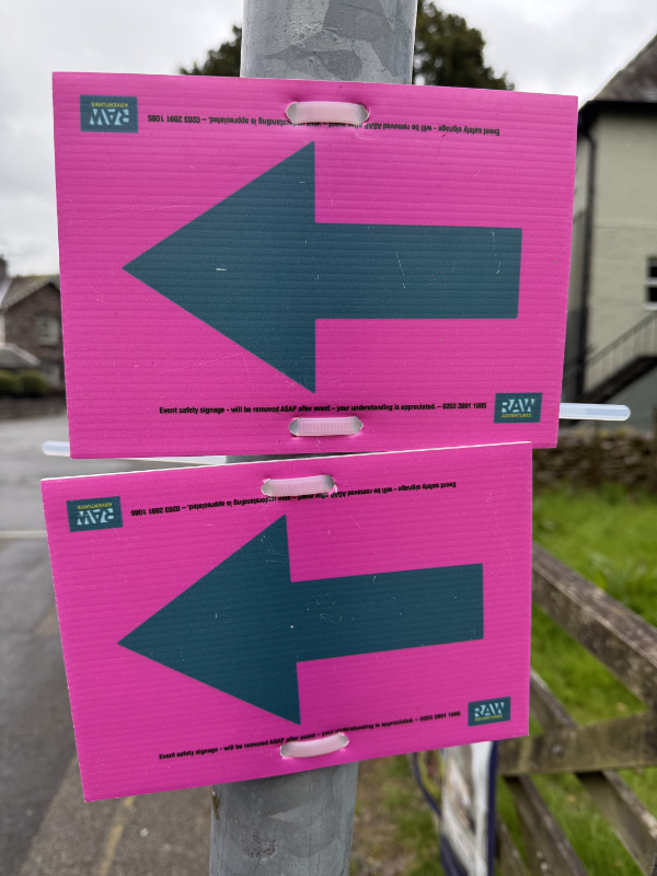
Once back into Grasmere, signs re-appeared, there were none on the hills...
 

Signs


arrow


Reserved for finish photo 1 when available...


arrow


Reserved for finish photo 2 when available...


arrow


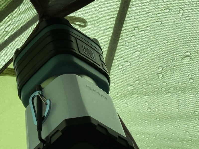
Amazingly we largely avoided the heavy, continuous rain that was forecast for the day, but it did arrive once I was back in the tent...


Tent


arrow

  
Yorkshire Dales National Park logo


The day after, a trip through the heart of the Yorkshire Dales National Park

Entry...


Entry


arrow

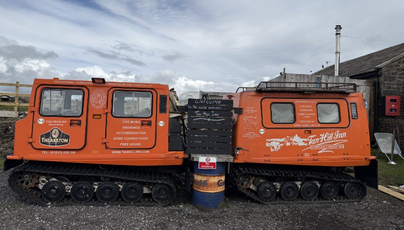
Tan Hill Inn


arrow


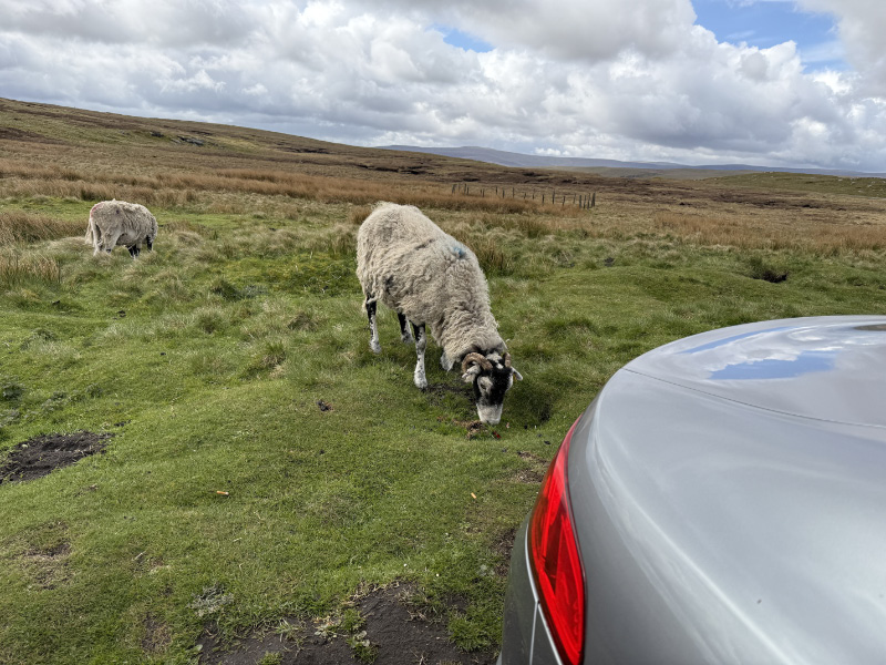
Welcome party once parked...
 

Welcome


I'd heard mixed reviews about this place, but fancied taking a look...
 

Tan Hill Inn 1


arrow


Famous for having stranded guests...


Tan Hill Inn 2


arrow


Thankfully it was already open at 11:00 when I arrived...
 

Tan Hill Inn 3


arrow


Quaint old flagged bar with a roaring fire...


Tan Hill Inn 5


arrow


4 of the many ales available for the weary visitor; I found it friendly and would recommend if you're passing...
  

Tan Hill Inn 6


arrow


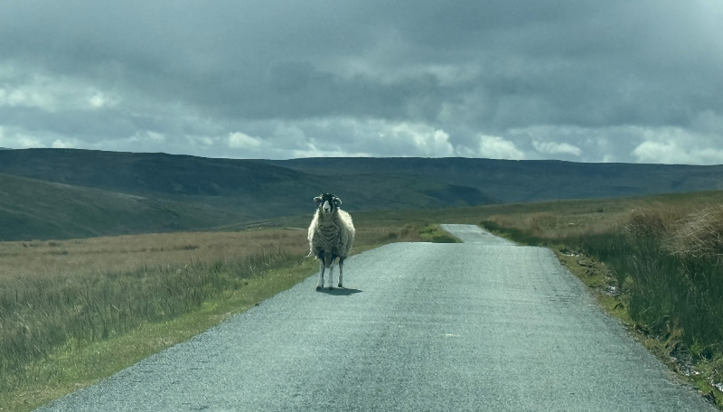
None shall pass! Guardian of the Dales checking out strangers ...
 

Sheep


arrow


Return to Hiking Home Page

Return to Main Menu